
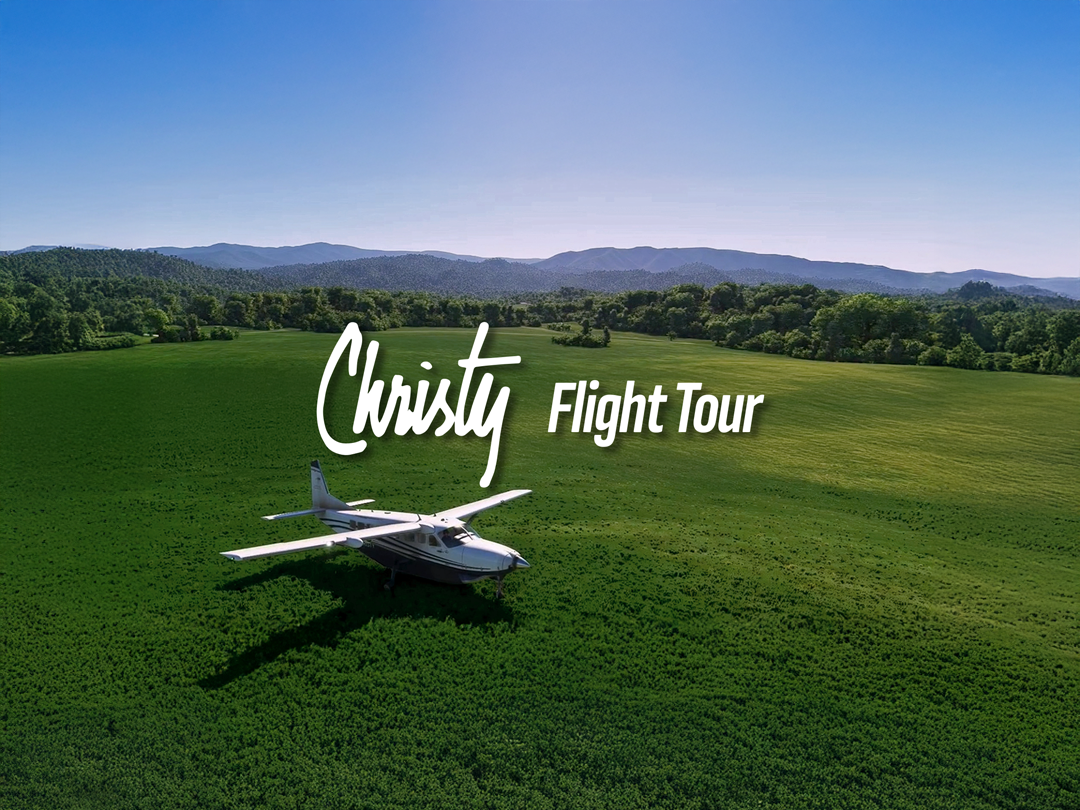
You can now watch a full 2-hour digital flight tour of all of the key Christy locations. I first used the Microsoft Flight Simulator to look around my local area here and journeyed further into the mountains. I guess you could call this a video game, but at the same time it is a simulator. Many of you may have heard of it. It’s taken quite seriously by airplane enthusiasts and yes, even by professional airline pilots. You can fly anywhere in the world with this plane simulator.
It eventually occurred to me to start looking at Christy sites, and the idea of this video project came to mind. It also struck me that a lot of you may never be able to see these locations due to how far away you are. Giving even more credence to the importance of it. Not only that, it would be a great addition to the Visit page for those interested in Christy’s historic and filming locations. Even if you have been to these areas, it will give you an entirely different outlook.
I’ve been working on this project for more than three months and it gave me a different view of Christy, quite literally and figuratively. I think it’s important for you to understand the scope of this airline travel. It is essentially a 1:1 scale representation of what you would actually see in real life. In layman’s terms the distance to objects, the height of mountains, plane speed, and more are exactly as what you would expect in real life.
There are some pitfalls. Although building structures are in their correct locations, they do not visually appear accurate in their physicality as well as their colors. Another drawback is that foliage is inaccurate at times. I noticed this specifically on some sides of the mountains. They can occasionally be sparse with little to no trees in some areas. If I used a more powerful computer, it would be more visually pleasing, and might even help some details. But nevertheless, the simulator would still have flaws. But let’s be honest, this simulator is quite impressive as it is, given that you can fly anywhere in the world.
It took a little while to memorize the route I wanted to take by sight only, going from one mountain to the other. It’s interesting how the flight starts you out by showing historical locations and eventually flows into the filming areas. I hadn’t set out to do so but it’s interesting how that came about. It’s just the nature of the geography. The two biggest tasks were trying to fly the plane and making the trip into one cut. Essentially no “game over, start over, try again.” After more than a dozen times I was able to accomplish this and this is what you see. I could have made the trip a lot shorter with a faster plane, but there’s a couple of landings I would have missed. Those landing sites make this video even more special.
There’s a lot to see including the journey Christy took along the railway on the French Broad river into El Pano. As well as the filming area of the schoolhouse. That’s only the tip of the iceberg. I’ve added graphics to the video including a reoccurring map to pinpoint the location the plane is in. There are added quotes from the novel and TV series. You can also read more tidbits about history and geography along the route. As stated the entire trip is 2 hours but extends an extra half hour if you decide to view some beautiful sunrises and sunsets.
After the tour featuring locations in North Carolina and Tennessee, one thing is sure. You’ll never view Christy the same way again.